
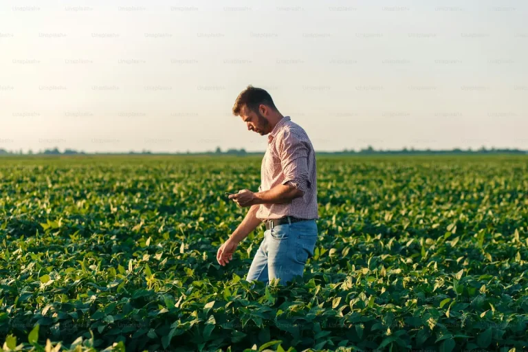
EUDR Traceability Support: How Bali Consultants Build It
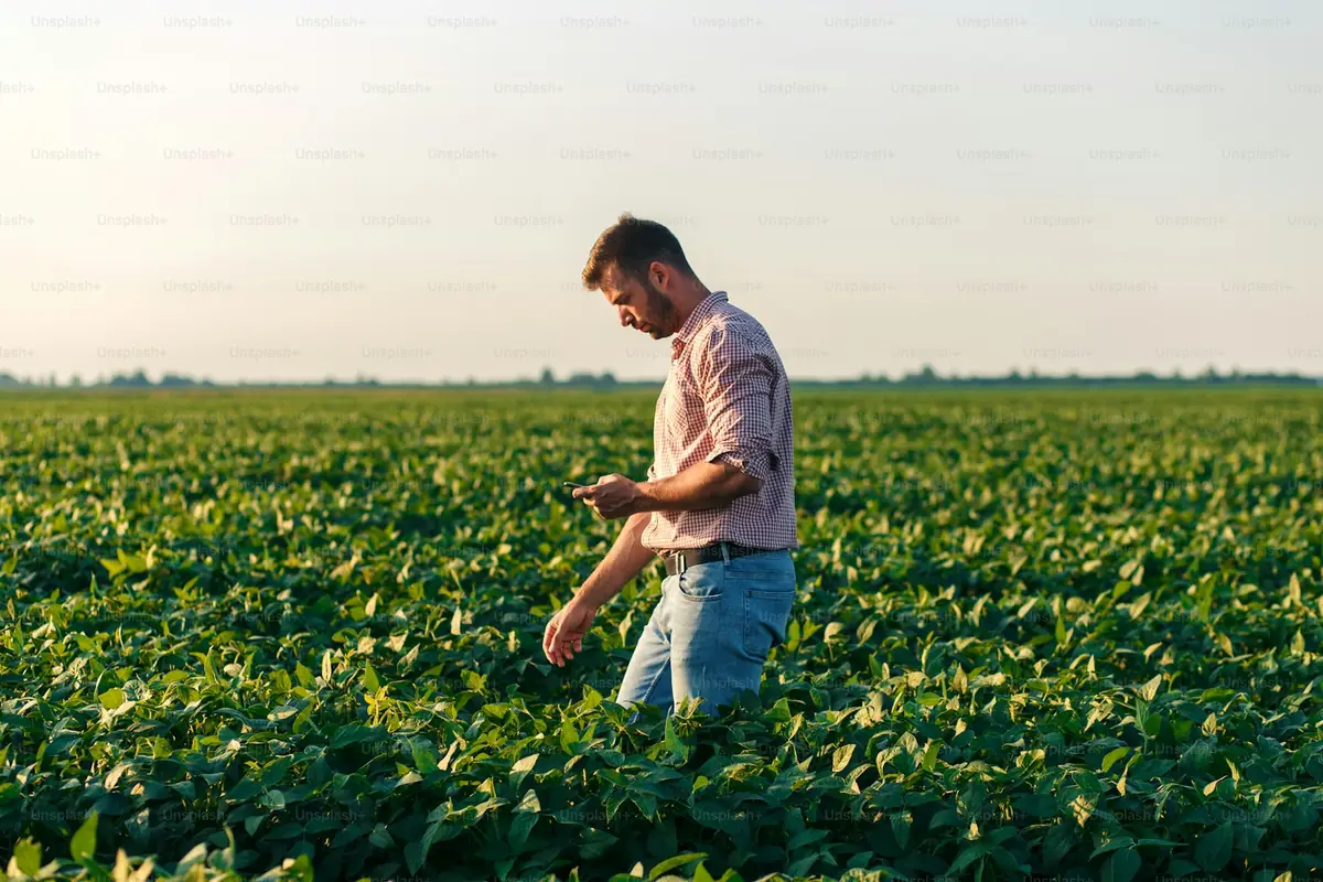
Bali export consultants build EUDR traceability in four moves: map every supplier tier, capture plot geolocation — polygons above 4 hectares, single points below — link each farm record to shipment documents, and file the Due Diligence Statement in EU TRACES NT before cargo reaches Europe. The work starts at the farm, not the port.
Guidance in 2026 treats 30 December 2025 as the enforcement date for large operators; other sources cite 30 December 2026 for large and medium operators and 30 June 2027 for micro and small enterprises — confirm the current schedule with the European Commission before planning shipments around it. The gap on the ground is not in dispute: as of Q1 2026, roughly 18-22% of Indonesian independent smallholder hectares had verified geolocation data integrated into mill supply chains, and about 5 million hectares still lacked verified EUDR documentation.
What Does EUDR Traceability Actually Require?
The EU Deforestation Regulation entered into force in June 2023 and covers soy, cattle, palm oil, wood, cocoa, coffee and rubber. Indonesia produces four of the seven. Every consignment placed on the EU market must be deforestation-free — produced on land not deforested after 31 December 2020 — and legally produced under Indonesian law.
Proof takes a specific shape. Before goods enter the EU, a Due Diligence Statement (DDS) is filed in the EU TRACES NT system referencing the HS code, the EU operator’s EORI number, country of origin and geolocation data for every production plot. EU authorities cross-check those coordinates against a reference deforestation map showing forest cover as of 31 December 2020.
Traceability is one pillar of a wider deforestation free exports advisory engagement; legality verification and shipment-level risk assessment sit alongside it. Traceability is simply where most Indonesian chains break first.
A consultant’s build has to produce five things:
| Data element | What it looks like in practice |
|---|---|
| Plot geolocation | Polygon coordinates above 4 ha; a single point below 4 ha |
| Farmer identity | Name and national ID recorded per supplying farmer |
| Land tenure | Ownership or use-right documentation for each plot |
| Chain of custody | Purchase records linking each lot to named farms |
| Risk assessment | Shipment-level legality and deforestation risk review |
How Do Consultants Map a Supply Chain From Farm to Shipment?
Supply chain mapping is inventory work, tier by tier. For a Bali coffee or cocoa exporter the sequence looks like this:
- Tier inventory. List every party between farm and container: collectors, cooperatives, hullers, warehouses, the exporter itself.
- Volume reconciliation. Match purchase volumes at each tier so a 19,200 kg container can be traced back to specific buying records, not to a vague “regional supply.”
- Farm registration. Enroll each supplying farmer with name, national ID and land tenure documents — the identity layer EUDR expects behind every coordinate.
- Plot capture. Collect coordinates in the field, polygon or point depending on plot size.
- Verification. Screen every plot against satellite imagery and the 31 December 2020 reference map, flagging anything that intersects post-2020 forest loss.
The output is a living register, not a one-off report — farmers join and leave chains every season, and an unmaintained map decays within a year.
When Does a Plot Need a Polygon Instead of a Point?
The threshold is 4 hectares.
| Plot size | Geolocation requirement | Field effort |
|---|---|---|
| Under 4 ha | One point coordinate (latitude/longitude) | Minutes per plot |
| 4 ha and above | Full polygon of boundary coordinates | Boundary walk, slower |
Most Indonesian smallholder coffee and cocoa plots fall under 4 hectares, so points dominate — but each point still has to sit inside the correct plot, captured on site rather than estimated from a village name. Estates, larger rubber holdings and consolidated palm plots cross the threshold and need boundary walks, so consultants schedule those slower plots first.
Precision matters more than it looks. A point dropped 300 meters off, into a neighboring parcel that shows post-2020 clearing, can flag an entire DDS. Verifying against imagery before filing is cheaper than answering a competent authority’s query after.
How Is the Farm-to-Shipment Chain Made Auditable?
An auditable chain means an EU authority can pick any container and walk it backwards: DDS, shipment documents, exporter lot numbers, warehouse intake records, cooperative purchase notes, named farmers, plot coordinates, clean reference-map check. Every step is a document.
Consultants build that spine in three layers. First, batch discipline: lots from mapped, verified farms stay segregated from unmapped volume, physically or through documented mass-balance rules where the commodity allows it. Second, document linkage: each purchase record carries farmer IDs and plot references, so the paper trail and the geodata trail are the same trail. Third, the shipment-level risk assessment: before filing, legality and deforestation risk are reviewed per consignment, with extra documentation gathered wherever risk is non-negligible.
None of this guarantees clearance — no consultant can promise how a competent authority will judge a file, and anyone who does is overselling. What the structure does is make the file answerable.
Why Does Data Retention Matter After the Container Sails?
Because enforcement is retrospective. Penalties under EUDR can reach 4% of EU turnover, plus confiscation of goods and exclusion from EU public procurement — and questions can arrive long after delivery. The regulation requires due diligence records to be kept for five years (confirm current retention rules with the European Commission), so version the farm register — you must be able to show what you knew at filing time.
Market memory is long too. The Earthsight and Auriga Nusantara “Risky Business” report of October 2025 pushed EU timber buyers to drop suppliers they judged high-risk — SVLK-certified exporters included, since SVLK legality certificates must now be complemented by EUDR-level due diligence. A retained, verifiable data trail is what separates a supplier who can answer a buyer’s audit from one who gets de-listed on suspicion.
What Does the Traceability Gap Cost, and Who Pays?
Indonesian government and industry studies estimate compliance costs at USD 80-150 per hectare for a typical smallholder plot — USD 400-750 million across the 5 million hectare documentation gap. Only about 1% of Indonesian smallholders supplying forest-risk commodities are certified as meeting EU traceability and legality requirements as of early 2026. The state is building the GroundTruthed.id (GTID) forest-monitoring platform and reconciling forest data with the EU, and the IEU-CEPA trade agreement expected in force in 2027 will tie tariff advantages to exactly these standards — so traceability data built now has a second use later.
For a single exporter the arithmetic is more contained. Two commercial reference points: SGS Indonesia offers EUDR gap analysis out of South Jakarta, and Bali-based The Bali Curator lists a sourcing-and-support package at IDR 12,500,000 as listed in 2026. Bali Export Consultant works quote-based — fieldwork scale, plot counts and existing documentation vary too much for a flat rate to be honest — and any indicative figure we give is dated and subject to change.
Bali Export Consultant is part of Juara Holding Group, an Indonesian group operating from Bali across Indonesia since 2015. This article is compliance information, not legal advice; confirm requirements with the European Commission or a licensed adviser before relying on them.
Frequently Asked Questions
How do Bali export consultants collect plot coordinates for farms outside Bali?
Field teams or partner surveyors visit plots with GPS tools, walking boundaries for polygons above 4 hectares and logging one point below that size. Bali-based consultants routinely coordinate collectors in Sumatra, Sulawesi and Flores remotely, then verify every coordinate against satellite imagery and the 31 December 2020 reference map before it is attached to a Due Diligence Statement.
How long does a traceability build take for a smallholder coffee chain?
Expect roughly two to six months for a single-origin chain, depending on plot count and how much farmer identity and land tenure documentation already exists. Mapping several hundred smallholder plots takes far longer than mapping one estate. A serious consultant scopes the timeline after tier mapping, not before — a schedule quoted sight-unseen is a guess.
What data should I prepare before traceability mapping starts?
Bring supplier lists per shipment, purchase records linking lots to farmers, existing farmer ID and land tenure documents, your HS codes, your EU buyer’s EORI number, and recent shipment paperwork. Gaps are normal — about 5 million Indonesian hectares lacked verified EUDR documentation as of Q1 2026 — but a clear inventory of what exists shortens the build.
Keep reading

EUDR
EUDR SME Deadline 2027: A Month-by-Month Plan
Scope: a month-by-month countdown plan to 30 June 2027 — the readiness checklist itself lives in our coffee & cocoa…

EUDR
Zero Deforestation Sourcing: Indonesia to EU Post-2026
Zero-deforestation sourcing for Indonesian exporters selling into Europe after 2026 means rebuilding supply chains around suppliers who can prove, with…
EUDR
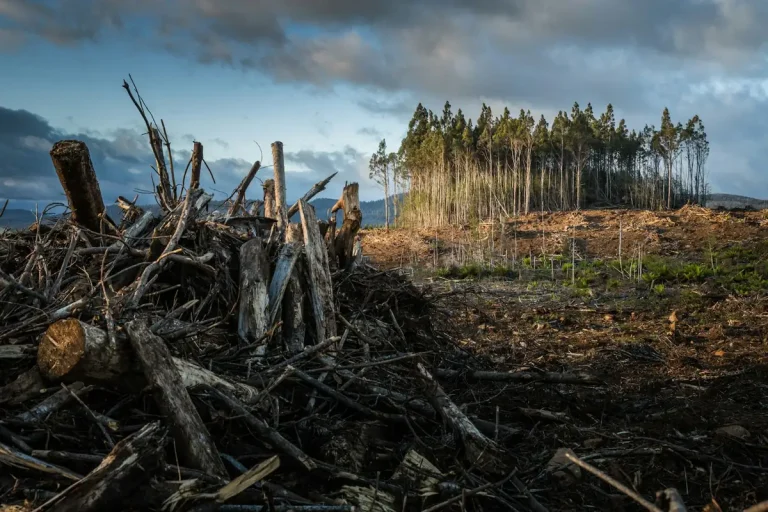
EUDR Penalties and Market Exclusion: Indonesia Risk Outlook
EUDR non-compliance exposes EU buyers of Indonesian palm oil, coffee, cocoa, rubber and timber to fines of up to 4%…